
West Endpoint:
East Endpoint:
Counties Passed through: Sherman, Thomas, Logan, Gove, Trego, Ellis, Russell, Lincoln, Ellsworth, Saline, Dickinson, Geary, Riley, Wabaunsee, Shawnee, Douglas, Leavenworth, Wyandotte
History
Junction Guide
Photos
Clicking on a photograph takes you to the photo's flickr page
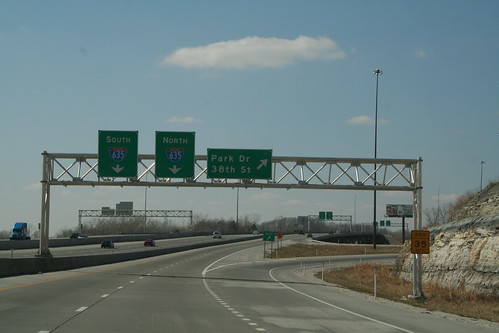
Here is a first sign gantry of of the westbound collector ramp between I-70 and I-635. The Left Lane is for southbound traffic, the right lane is for northbound traffic. This gantry also serves as the exit for Park Drive (ex K-32). 25 March 2006
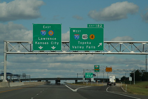
The eastbound sign gantry on the I-470 segment of the Kansas Turnpike carries signs for the East Topeka Exit. 28 September 2006
Highway Tags: I-70 US 40 K-4
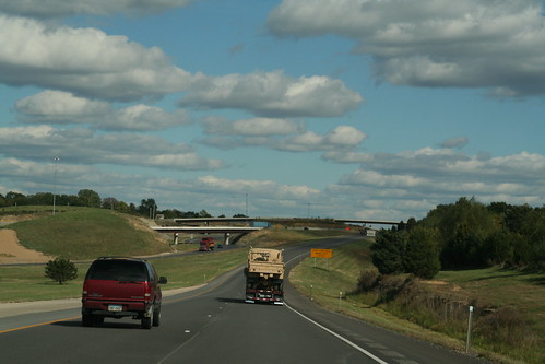
Here's a view of the Kansas Turnpike as it merges with I-70. 28 September 2006
 `
`
As the Kansas Turnpike merges with I-70, the lanes for I-70 are indicated by the "added lane" symbol, as the lanes coming in from Wichita eventually merge into the I-70 lanes. 28 September 2006
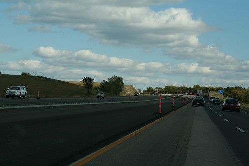
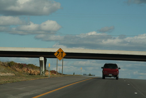
Part of the I-70 section of the Kansas Turnpike is missing its Jersey Barrier... the new one is under construction. 28 September 2006