
West Endpoint:
East Endpoint:
Counties Passed through: Sherman, Thomas, Logan, Gove, Trego, Ellis, Russell, Lincoln, Ellsworth, Saline, Dickinson, Geary, Riley, Wabaunsee, Shawnee, Douglas, Leavenworth, Wyandotte
History
Junction Guide
Photos
Clicking on a photograph takes you to the photo's flickr page
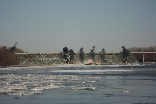
Second Blast Sequence of the I-70/Kansas Turnpike Bridges over the Kansas River: 11 December 2009.
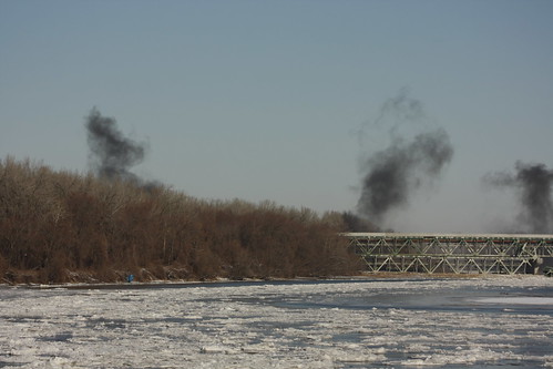
Second Blast Sequence of the I-70/Kansas Turnpike Bridges over the Kansas River: 11 December 2009.
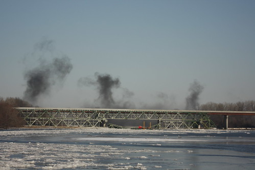
Second Blast Sequence of the I-70/Kansas Turnpike Bridges over the Kansas River: 11 December 2009.
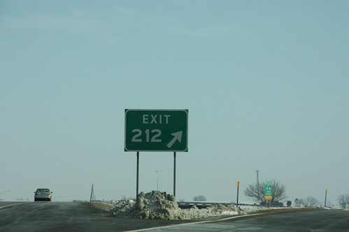
The Exit sign for the newly-opened Tonganoxie exit on the Kansas Turnpike/I-70. The "EXIT" wording utilizes the Clearview series typeface, but the exit number on this gore still uses the FHWA series lettering.
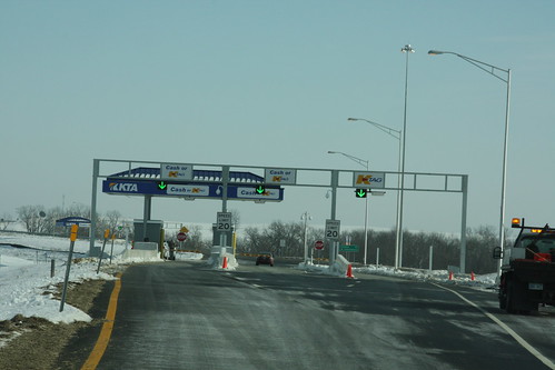
The Exit ramps off of the Kansas Turnpike/I-70 have toll plazas with two cash or K-TAG lanes, plus one dedicated K-TAG lane. All lanes allow K-TAG users to go through the exit at 20 MPH.