
South Endpoint:
North Endpoint:
Counties Passed through: Sumner, Sedgwick, Harvey, McPherson, Saline, Ottawa, Cloud, Republic
Photos
Clicking on a photograph takes you to the photo's flickr page
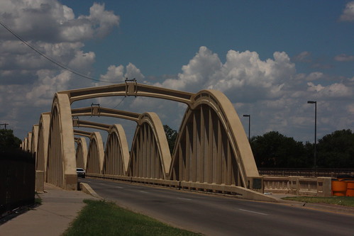
The John Mack Bridge takes the former US 81, now one-half of Broadway, over the Arkansas River in Wichita. 20 July 2013
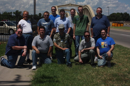
The Wichita roadgeek meet photo in front of the John Mack Bridge 20 July 2013, old US 81
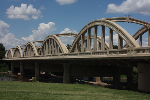
Here's a side profile of the John Mack Bridge 20 July 2013, old US 81
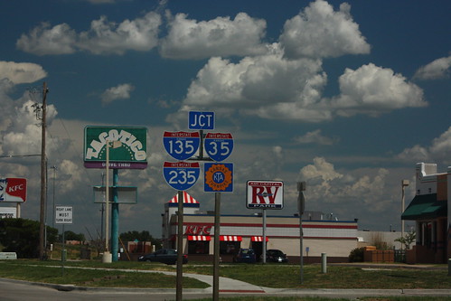
A bit of "sine salad" reflecting all three of Wichita's interstates, plus the Turnpike. This is on 47th Street approaching I-135. I-235 begins just north of this interchange, and the South Wichita exit on the Kansas Turnpike is south of this interchange. 20 July 2013
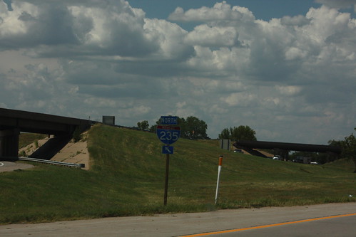
Behind the exit gore for the ramp from I-135 north to I-235 north is a regular directional assembly. 20 July 2012