
South Endpoint:
Unknown (presumbably US 69) in Downtown Kansas City (1935-1982)
Junction US 24-40, Bonner Springs (1982-1988)
I-435 exit 13, Kansas City (1988-2009)
I-70 exit 224 in Bonner Springs (2009-)
North Endpoint:
Counties Passed through: Wyandotte, Leavenworth, Atchison, Brown
Photos
Clicking on a photograph takes you to the photo's flickr page
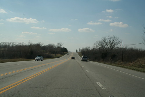
Here is a stretch of US 24/40/73 that is a part of the original 1930s alignment in Wyandotte County. Repavings and wider lanes have turned what was the median into a paved zone bordered by double yellow lines. 25 March 2006
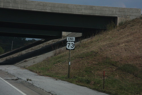
This "END 73" sign on State Avenue at I-435 in Kansas City has been photographed before.... 20 September 2008
Heading southbound on K-7 at State Avenue is this sign indicating the eventual relocation of US 24-a href="highways.php?hwy=40&seg=1&photos=2#35967">40-73 onto this stretch of K-7. The other signs for the interchange remain tarped pending completion of the interchange. 15 January 2009
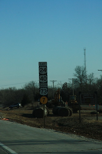
Here is the first reassurance marker on southbound K-7, reflecting the eventual addition of US highways 24, 40, and 73. 15 January 2009

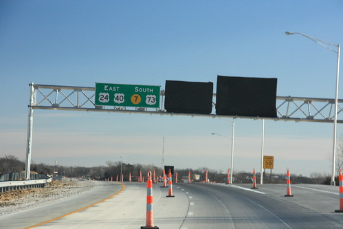
signs for the new State Ave (US 24-40) interchange with K-7/US 73 are being installed. the sign that is currently installed backwards is a right arrow... the on-ramps remain closed. 15 January 2009