
Length: 243.57 miles
South Endpoint:
North Endpoint:
Counties Passed through: Cherokee, Crawford, Bourbon, Linn, Miami, Johnson, Wyandotte, Leavenworth, Atchison, Doniphan
Full Description
History
Average Annual Daily Traffic
Junction Guide
Photos
Clicking on a photograph takes you to the photo's flickr page
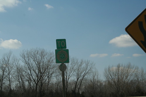
Another original green Kansas Turnpike Sign can be found at the westbound interchange between US 24/40 and K-7 in Wyandotte County. 25 March 2006

This Marsh Arch takes National Avenue over the Marmaton River in Fort Scott. The bridge once carried the US 54, US 69, and K-7 designations. 7 April 2007
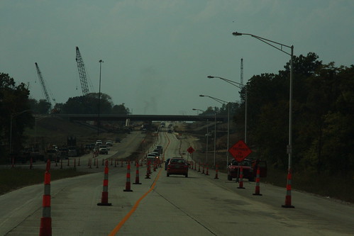
Here's a shot of the construction at the US 24-40/K-7 interchange looking west on 24-40. 20 September 2008
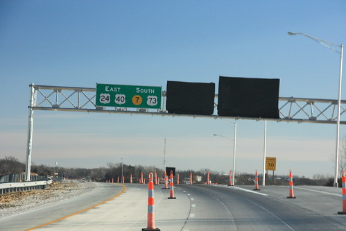
Heading southbound on K-7 at State Avenue is this sign indicating the eventual relocation of US 24-a href="highways.php?hwy=40&seg=1&photos=2#35967">40-73 onto this stretch of K-7. The other signs for the interchange remain tarped pending completion of the interchange. 15 January 2009
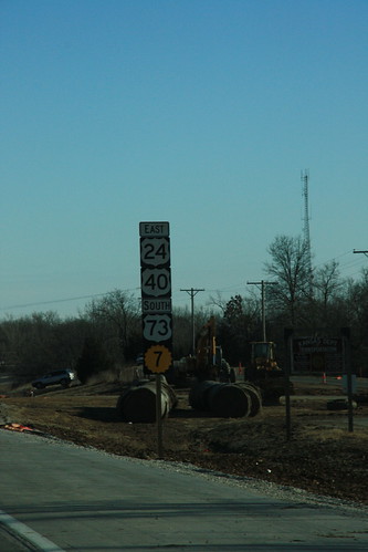
Here is the first reassurance marker on southbound K-7, reflecting the eventual addition of US highways 24, 40, and 73. 15 January 2009