
South Endpoint:
North Endpoint:
Counties Passed through: Cherokee, Crawford, Bourbon, Linn, Miami, Johnson, Wyandotte
Photos
Clicking on a photograph takes you to the photo's flickr page
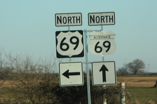
The south end of US 69A at US 69. 13 December 2012
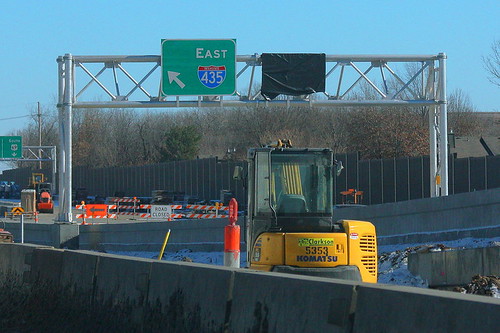
The ramp from Quivira to Eastbound I-435 now has a "braid" to it. Those on the off-ramp will be able to choose whether to head onto 435, or to take the US 69 exit. 22 December 2012
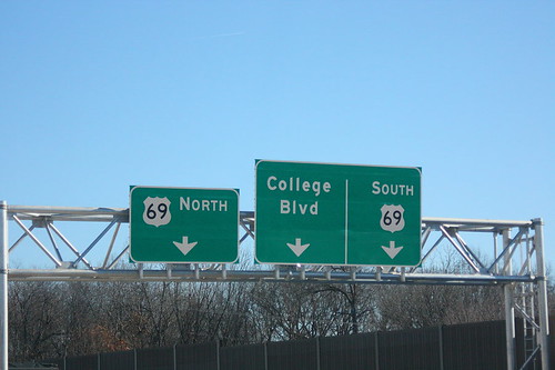
The ramp under construction for eastbound I-435 at US 69 now has ties to the US 69 offramp to College Boulevard. 22 December 2012
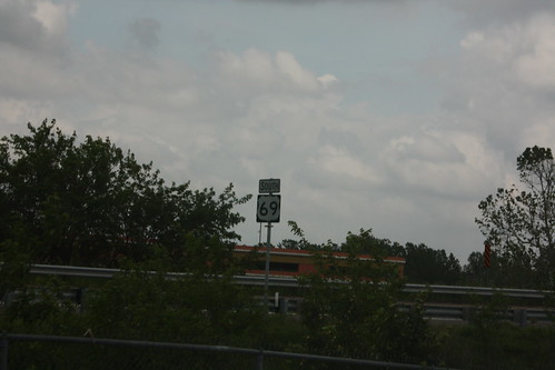
This sign on US 69 approaching the Fairfax bridge has a extra sign holder attached to the pole. The extra hardware dates to when the US 169 designation was also on the Fairfax. 26 May 2013
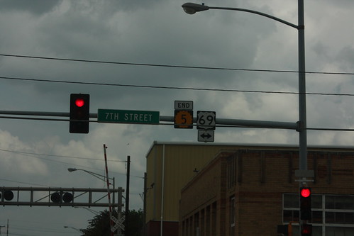
The end of K-5 at US 69 in the Fairfax District. 26 May 2013