
Length: 208.39 miles
South Endpoint:
North Endpoint:
Counties Passed through: Labette, Neosho, Allen, Anderson, Franklin, Douglas, Jefferson, Atchison
History
Average Annual Daily Traffic
Junction Guide
South Endpoint:
Oklahoma State Line South of Chatopa
North Endpoint:
Missouri State Line at Atchison
Counties Passed through: Labette, Neosho, Allen, Anderson, Franklin, Douglas, Jefferson, Atchison
History
Average Annual Daily Traffic
Junction Guide
Photos
Clicking on a photograph takes you to the photo's flickr page
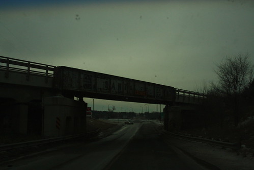
This "Truck Guillotine" bridge takes the former Santa Fe Tulsa line (now the Prairie Spirit Rail Trail) over US 59 south of Garnett.
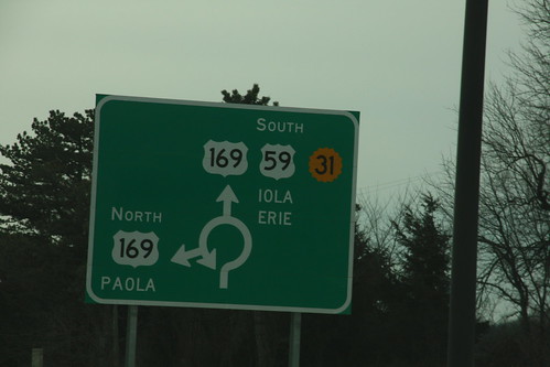
The diagrammatic sign on southbound US 59/K-31 approaching the roundabout junction with US 169 south of Garnett. 22 January 2011
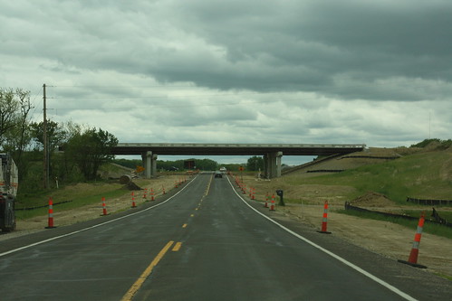
The bridges that will take US 59 over N 1000 road south of Lawrence.
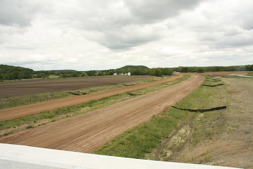
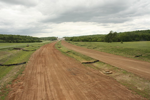
Here's a shot from the new US 59 from the N 900 bridge looking Northwest. grading is nearly finished; however, paving is not anticipated until next construction season.
Here's a wide shot from N 900 Road looking south over US 59.