
West Endpoint:
East Endpoint:
Counties Passed through: Morton, Stevens, Haskell, Gray, Ford, Edwards, Pawnee, Barton, Rice, McPherson, Marion, Dickinson, Morris, Lyon, Osage, Douglas, Johnson
History
Average Annual Daily Traffic
Junction Guide
Photos
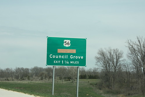
Clicking on a photograph takes you to the photo's flickr page
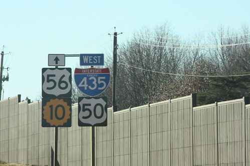
Well, it is the way the sign plans said it should be. This sign arrangment is on 435 between Quivera and I-35. US 56 follows I-35, K-10 begins just west of the interchange, and US 50 moves from I-435 to I-35.11 February 2013
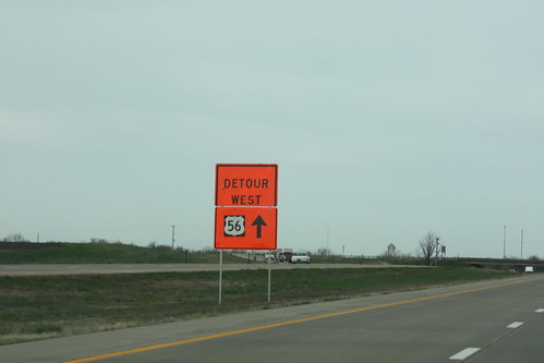
Detour signage on I-35 for the US 56 closure west of Baldwin appears to have been hastily put together. 20 April 2013
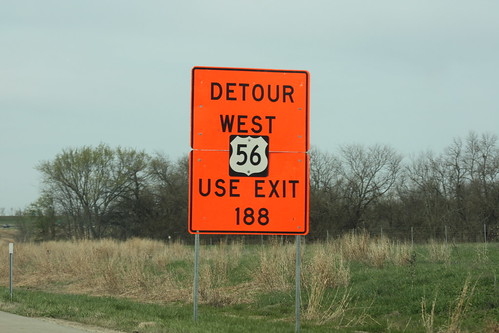
Here's another detour sign on I-35, advising westbound traffic for Council Grove on US 56 to exit onto US 59 north at exit 188. 20 April 2013
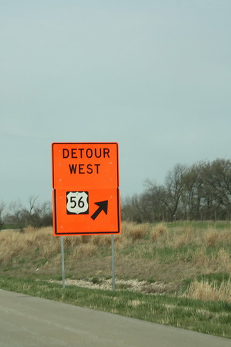
Third in a sequence of detour signs for US 56 on I-35. 20 April 2013
On northbound US 59 approaching US 56, the destination "Olathe" has been covered with plywood, as 56 is closed west of Baldwin City.