
Length: 427.138 miles
West Endpoint:
East Endpoint:
Counties Passed through: Wallace, Logan, Gove, Trego, Ellis, Russell, Lincoln, Ellsworth, Saline, Dickinson, Geary, Riley, Pottawatomie, Wabaunsee, Shawnee, Douglas, Leavenworth, Wyandotte
Full Description
History
Junction Guide
Photos
Clicking on a photograph takes you to the photo's flickr page
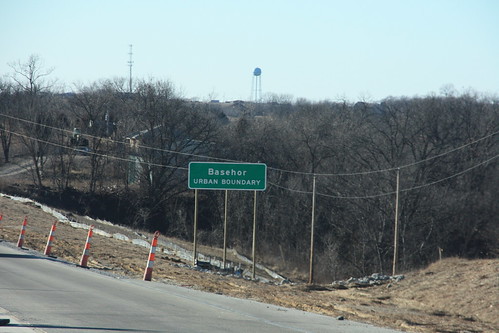
The city limits for Basehor on US 24-40 are designated as an "Urban Boundary." 15 January 2009
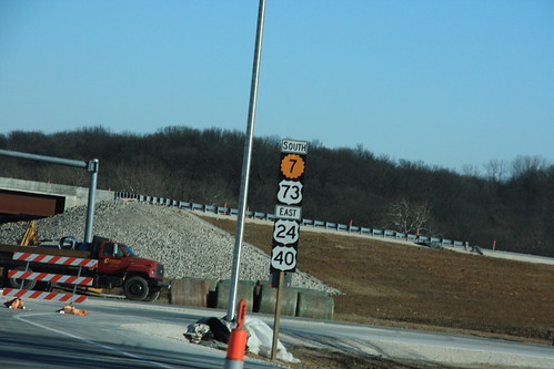
This sign, heading east on State Avenue, is another note of the future re-alignment of US 24-40-73. Note that K-7 receives top billing on this assembly. 15 January 2009
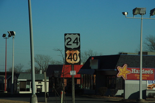
A relatively new US 24 sign is situated alongside an elderly US 40 sign on State Avenue in KCK. 15 January 2009

signs for the new State Ave (US 24-40) interchange with K-7/US 73 are being installed. the sign that is currently installed backwards is a right arrow... the on-ramps remain closed. 15 January 2009
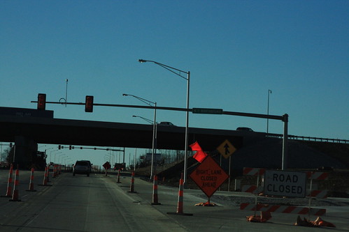
The signals for northbound K-7 on westbound State Avenue (US 24-40) have only two phases. When traffic from eastbound State to Northbound K-7 has a protected left, traffic on westbound state must stop. Thus, on westbound State, there's a standard signal facing westbound traffic. 15 January 2009