
Length: 427.138 miles
West Endpoint:
East Endpoint:
Counties Passed through: Wallace, Logan, Gove, Trego, Ellis, Russell, Lincoln, Ellsworth, Saline, Dickinson, Geary, Riley, Pottawatomie, Wabaunsee, Shawnee, Douglas, Leavenworth, Wyandotte
Full Description
History
Junction Guide
Photos
Clicking on a photograph takes you to the photo's flickr page
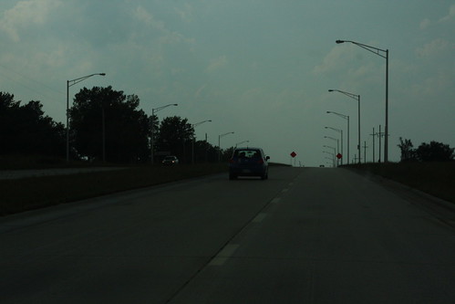
Here's a view of the new State Avenue, better known as US 24-40, at least for now. 20 September 2008 [24-40 would move from State Avenue to I-70 in February 2009]
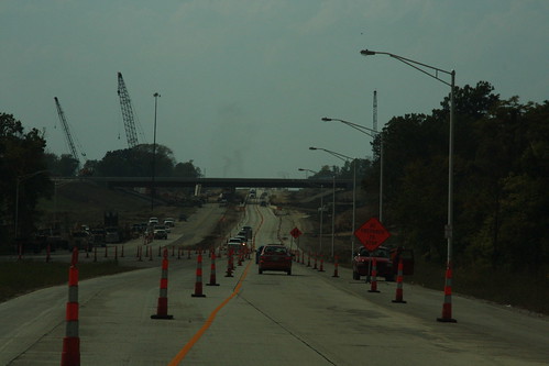
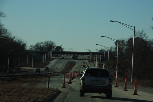
Here's a shot of the construction at the US 24-40/K-7 interchange looking west on 24-40. 20 September 2008
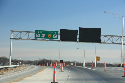
Heading southbound on K-7 at State Avenue is this sign indicating the eventual relocation of US 24-a href="highways.php?hwy=40&seg=1&photos=2#35967">40-73 onto this stretch of K-7. The other signs for the interchange remain tarped pending completion of the interchange. 15 January 2009
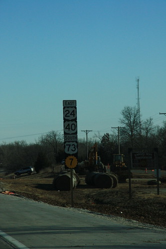
Here is the first reassurance marker on southbound K-7, reflecting the eventual addition of US highways 24, 40, and 73. 15 January 2009
Here's a view looking west on State Avenue (US 24-40) onto the K-7 interchange. Since September, the eastbound lanes have been given a full-depth reconstruction. 15 January 2009