
South Endpoint:
North Endpoint:
Counties Passed through: Sumner, Sedgwick, Butler, Chase, Lyon, Coffey, Osage, Franklin, Miami, Johnson, Wyandotte
History
Junction Guide
Photos
Clicking on a photograph takes you to the photo's flickr page
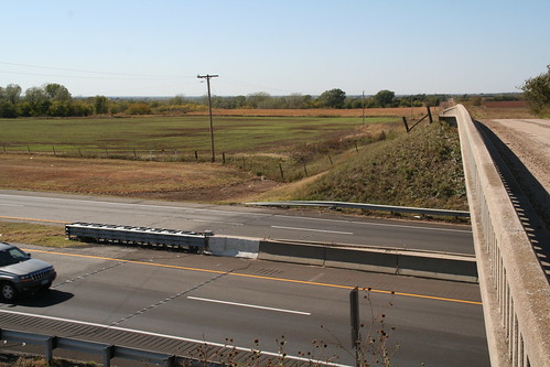
Here's a view looking southwest into Kay County, Okla. across I-35 from the bridge on the state line. 20 October 2006
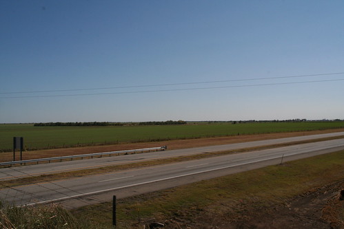
Here's a view looking southeast across I-35 into Kay County, Okla. 20 October 2006
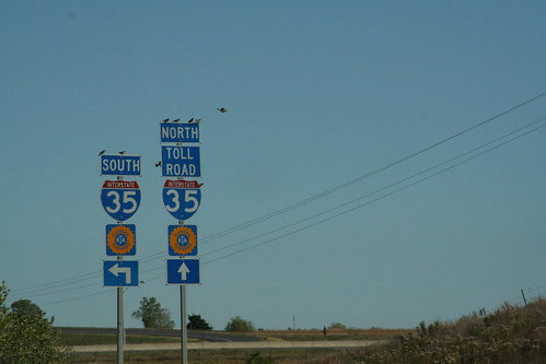
The US 166 interchange with I-35 in Sumner County complete with the Turnpike logo. The "Toll Road" sign reminds all that the Southern Terminal is located north of this interchange... travel south to Oklahoma is free from here. 20 October 2006
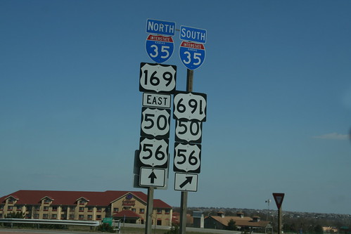
For several months, this US 169 sign at the interchange between I-35 and 119th Street has been hanging upside down. 15 April 2007
Highway Tags: US 50 US 56
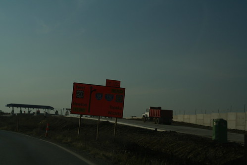
A temporary orange diagrammatic sign directs the way to US 50 to Newton, or to the Turnpike and I-35 to Wichita or I-335 to Topeka. The new tollbooths are also in the shot. 10 November 2007