
Length: 433.7 miles
West Endpoint:
East Endpoint:
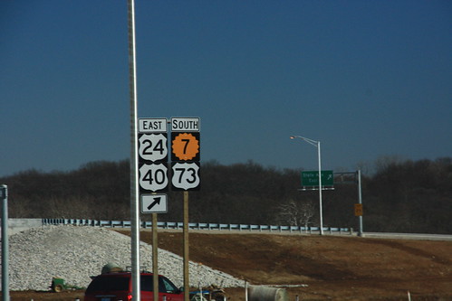
Counties Passed through: Sherman, Thomas, Sheridan, Graham, Rooks, Osborne, Mitchell, Cloud, Clay, Riley, Pottawatomie, Shawnee, Jefferson, Douglas, Levenworth, Wyandotte
History
West Endpoint:
Colorado State Line at Kanorado
East Endpoint:
Missouri State Line in Kansas City
Counties Passed through: Sherman, Thomas, Sheridan, Graham, Rooks, Osborne, Mitchell, Cloud, Clay, Riley, Pottawatomie, Shawnee, Jefferson, Douglas, Levenworth, Wyandotte
History
Photos
Clicking on a photograph takes you to the photo's flickr page
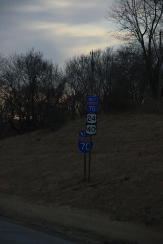
Here, the new westbound I-70/US 24/US 40 reassurance marker is in front of the old one. 12 February 2009
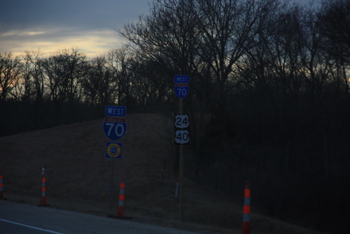
West of I-435, Kansas Turnpike markers are posted along I-70. The new reassurance marker features 24-inch signs for I-70, US 24, and US 40, with space for a new 24-inch Turnpike marker. The old assembly has a 48-inch I-70 marker with a 36-inch KTA shield. 12 February 2009
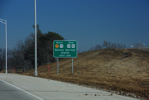
14 February 2009
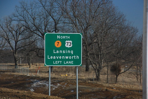
14 February 2009
14 February 2009