
West Endpoint:
East Endpoint:
Counties Passed through: Sherman, Thomas, Sheridan, Graham, Rooks, Osborne, Mitchell, Cloud, Clay, Riley, Pottawatomie, Shawnee, Jefferson, Douglas, Levenworth, Wyandotte
History
Photos
Clicking on a photograph takes you to the photo's flickr page
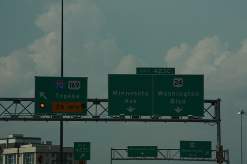
If the first sign didn't catch your attention regarding this 35 MPH curve on I-70 coming off of the Lewis and Clark viaduct, than maybe the alternating yellow lights will grab your attention. 20 September 2008
Links:US 24, US 169
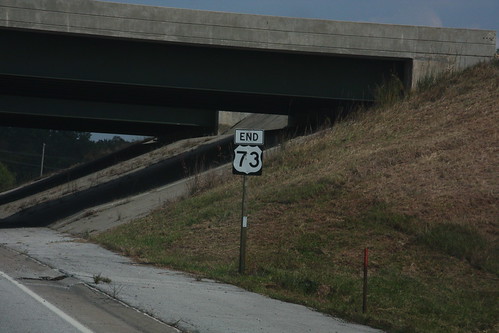
This "END 73" sign on State Avenue at I-435 in Kansas City has been photographed before.... 20 September 2008
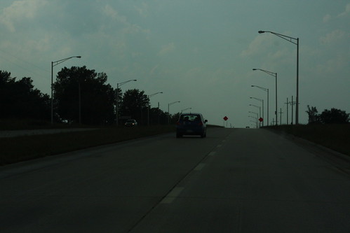
Here's a view of the new State Avenue, better known as US 24-40, at least for now. 20 September 2008 [24-40 would move from State Avenue to I-70 in February 2009]
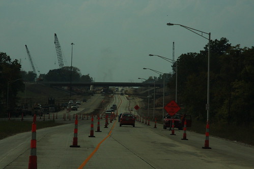
Here's a shot of the construction at the US 24-40/K-7 interchange looking west on 24-40. 20 September 2008
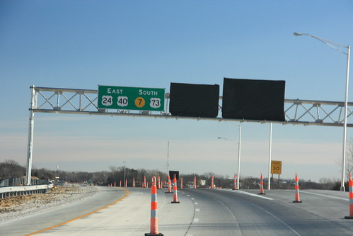
Heading southbound on K-7 at State Avenue is this sign indicating the eventual relocation of US 24-a href="highways.php?hwy=40&seg=1&photos=2#35967">40-73 onto this stretch of K-7. The other signs for the interchange remain tarped pending completion of the interchange. 15 January 2009