
West Endpoint:
East Endpoint:
Counties Passed through: Sherman, Thomas, Sheridan, Graham, Rooks, Osborne, Mitchell, Cloud, Clay, Riley, Pottawatomie, Shawnee, Jefferson, Douglas, Levenworth, Wyandotte
History
Photos
Clicking on a photograph takes you to the photo's flickr page
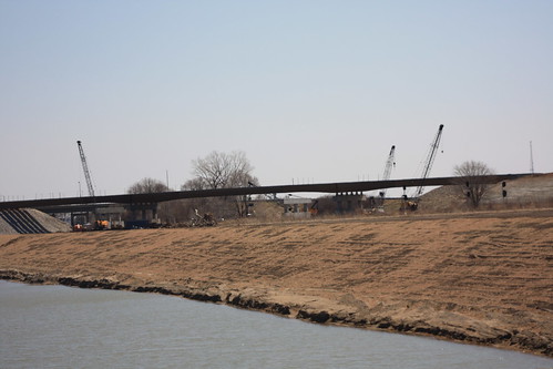
The new US 24 bridge over the Union Pacific Kansas Sub is underway, as seen from NW 25th (itself a former alignment of US 24) 5 April 2014
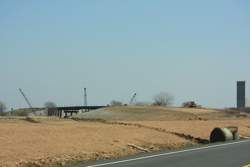
Here's a shot of the new US 24 bridge over the Union Pacific looking east from the shoo-fly detour. 5 April 2014
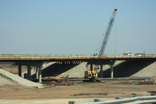
Here's a shot of the new bridge taking US 24 over Menoken Road. 5 April 2014
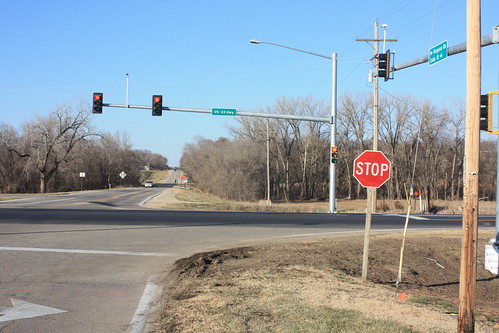
Here's a shot looking northbound on Ferguson Road at the junction with US-24 in Perry. The new traffic signal is installed, but has not yet been put into full operation. In the meatime, the signals are displaying flashing yellow for US 24 traffic, and flashing red (with the existing stop signs still in place) for Ferguson Road.
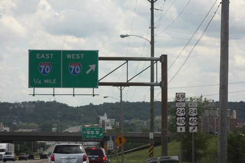
The north end of the 18th Street expressway dumps into the eponymous 18th Street. The first Big green sign for the I-70 cloverleaf only features I-70 shields. The markers for US 69, US 24, and US 40 are relegated to a supplemental plate. 25 June 2014