
West Endpoint:
East Endpoint:
Counties Passed through: Sherman, Thomas, Logan, Gove, Trego, Ellis, Russell, Lincoln, Ellsworth, Saline, Dickinson, Geary, Riley, Wabaunsee, Shawnee, Douglas, Leavenworth, Wyandotte
History
Junction Guide
Photos
Clicking on a photograph takes you to the photo's flickr page
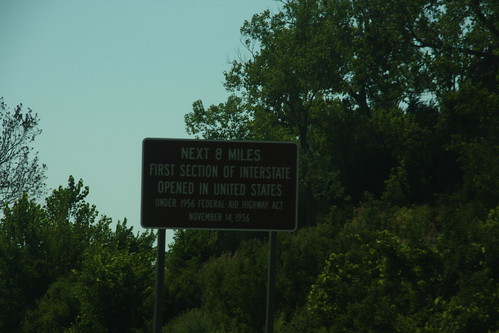
This sign commemorates the location of the first stretch of interstate completed under the interstate Highway Act - I-70 in western Shawnee County
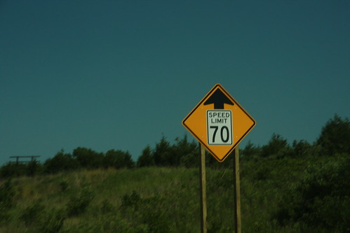
Even though KDOT raised the speed limit on much of I-70 to 75, there are a few places where the speed limit remains at 70, most notably a "transition" area between Auburn Road and I-470 west of Topeka.
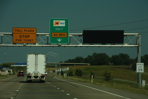
Variable Message signs have been added to several gantries along the Kansas Turnpike, including this one at the East Topeka interchange.
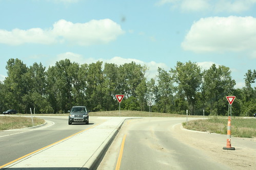
The Permanent approach to the roundabout at the East Lawrence Interchange on the Kansas Turnpike.
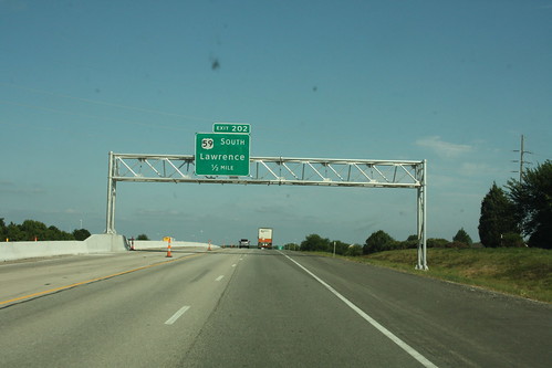
The new guide signs on the Kansas Turnpike for the Lawrence exits are now in Clearview typeface and mounted on overhead gantries. Here's the first gantry that you see on approach to the West Lawrence interchange, signed for US 59 south.