
South Endpoint:
North Endpoint:
Counties Passed through: Labette, Neosho, Allen, Anderson, Franklin, Douglas, Jefferson, Atchison
History
Average Annual Daily Traffic
Junction Guide
Photos
Clicking on a photograph takes you to the photo's flickr page
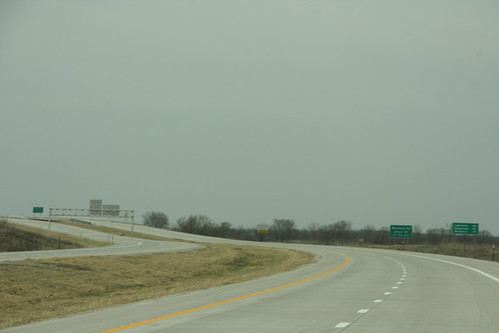
Here's the first view of the new US 59 freeway northeast of Ottawa. It opened the same day the picture was taken.
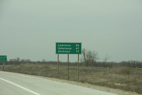
The distance sign on US 59 at the beginning of the new freeway north of I-35 features the distance to Lawrence, Oskaloosa, and Atchison.
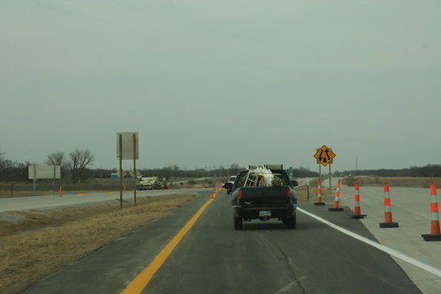
Just north of the Straford Road interchange in Franklin County, northbound traffic on US 59 is crossed over to the southbound lanes.
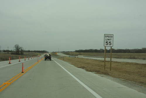
For about a half-mile south of the Douglas-Franklin County Line, US 59 traffic is moving head-to-head in the future southbound lanes, and carries a 55 MPH speed limit to match the speed limit on "old" US 59 in Douglas County.
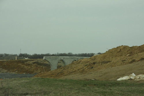
The Bridge Piers are in place for the US 59 bridge over US 56 at Baldwin Junction