
South Endpoint:
North Endpoint:
Counties Passed through: Labette, Neosho, Allen, Anderson, Franklin, Douglas, Jefferson, Atchison
History
Average Annual Daily Traffic
Junction Guide
Photos
Clicking on a photograph takes you to the photo's flickr page
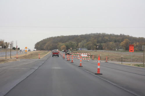
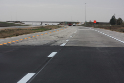
The new southbound lanes of US 59 between the N 1000 Road interchange and the north end of the project have not been finished. They still need that final layer of hot asphalt, as well as permanent pavement markings. 18 October 2012
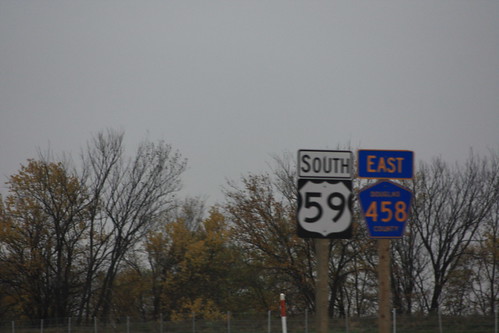
I have not see a duplex between State and County highways this well marked before. US 59 and county road 458 markers are placed side-by-side at the N 1100 Road Junction. 18 October 2012
The shoo-fly connecting the new southbound lanes of US 59to the old highway has been closed off, traffic is now directed onto the new freeway. 18 October 2012
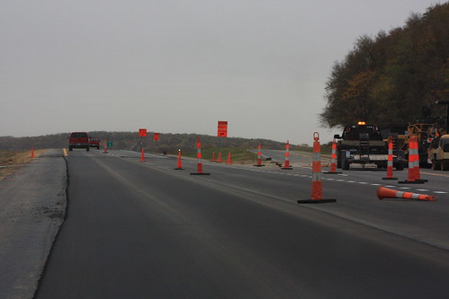
Here's a shot of the grade on the new US 59 just south of N 900 Road. 18 October 2012
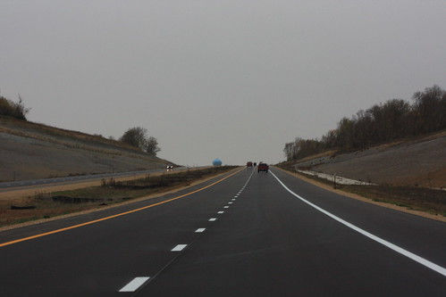
The new US 59 transitions from asphalt to Portland Cement pavement just north of the N 650 Road interchange. 18 October 2012