
South Endpoint:
North Endpoint:
Counties Passed through: Labette, Neosho, Allen, Anderson, Franklin, Douglas, Jefferson, Atchison
History
Average Annual Daily Traffic
Junction Guide
Photos
Clicking on a photograph takes you to the photo's flickr page
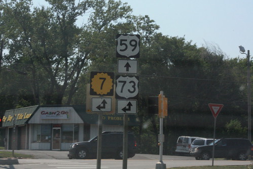
Heading south (or, more accurately, west) on US 59 at the K-7/US 73 junction, the guide markers at this intersection infer that K-7 traffic should turn onto southbound US 59. The official route for K-7, however, is for K-7 to continue north, then turn left at Main Street. 27 June 2012
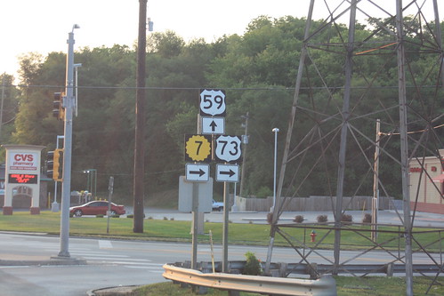
Here's the west approach to the intersection of US 59 and 10th Street in Atchison. Technically, K-7 continues north on 10th, and should carry a double arrow, not a right arrow. 2 July 2012
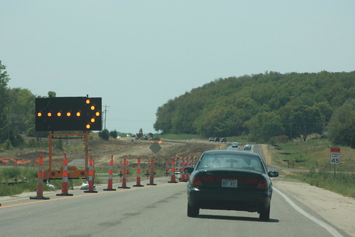
Here's the north end of the construction zone for the new US 59 freeway construction. 12 August 2012
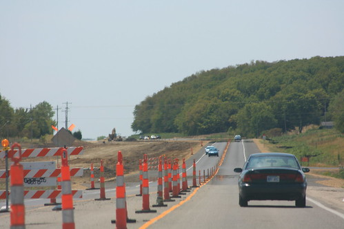
Traffic on US 59 south of Lawrence has been shifted onto the southbound lanes while the new northbound lanes are built. 12 August 2012
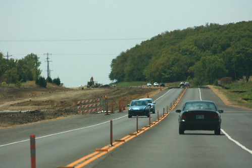
Work continues on paving the new northbound lanes of US 59 while traffic moves head-to-head in the southbound lanes. 12 August 2012