Length: 95.738 miles
South Endpoint:
North Endpoint:
Counties Passed through: Sedgwick, Harvey, McPherson, Saline
Junction Guide
Photos
Clicking on a photograph takes you to the photo's flickr page
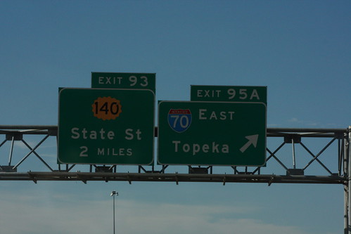
Unlike I-70, the guide signs on I-135/US 81 do *not* have the advisory speed for the loop ramps posted on the guide signs. This assembly, just before the exit ramp from southbound I-135 to eastbound I-70, also has the first advance guide sign for State Street/K-140. 20 July 2013
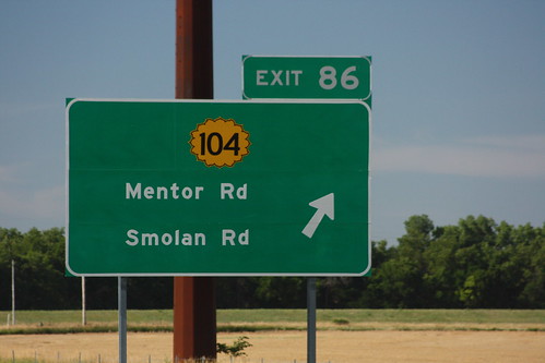
The guide signs for the K-104 exit on I-135 have a design problem. There is too much green space between the two lines of text. Although legible as-is, it would be more so if the text was about four inches larger and spaced more appropriately for its size. This is probably a contract job, as KDOT does not use a border around it's guide sign highway shields. 20 July 2013
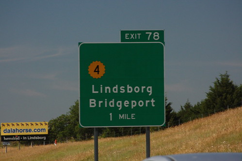
The southbound exit guide signs for the south junction between I-135 and K-4 in Saline County north of Lindsborg has had its US 81B shield removed, but the K-4 shield has not been moved to re-balance the sign. The northbound signs did not have a US 81B shield. 20 July 2012
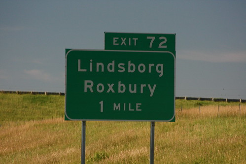
The southbound guide sign at the former I-135 south Junction with US 81B south of Lindsborg never featured a US 81B shield, and therefore remains unchanged. 20 July 2012
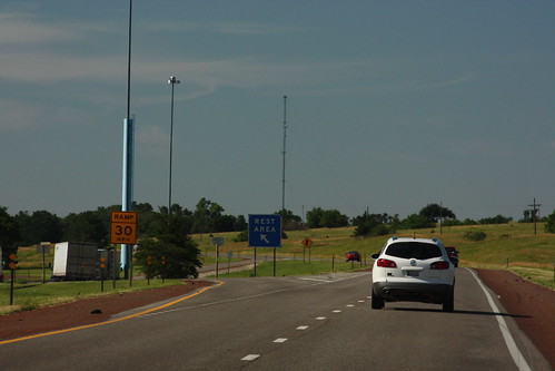
The rest area on I-135 north of McPherson is only one of two that is located in the median, rather than on the outside of the interstate. 20 July 2012